Orientation Quiz: Test Your Map and Direction Skills
Quick, free navigation skills quiz. Instant results.
Editorial: Review CompletedUpdated Aug 28, 2025
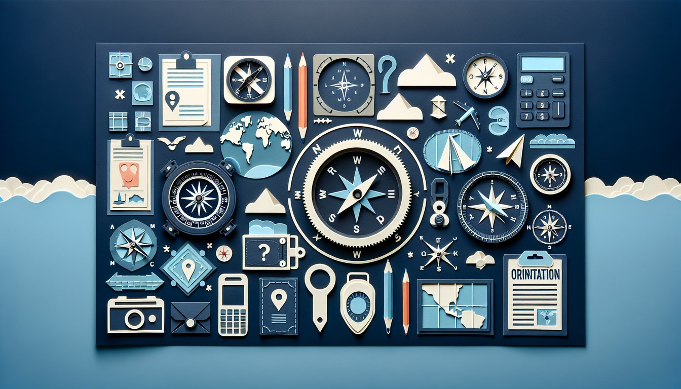
This orientation quiz helps you practice map reading, compass points, and basic bearings. Answer 15 quick questions to check your navigation sense and build spatial awareness for hikes, classes, or onboarding. Like more challenges? Try the smart questions quiz or explore some general sports trivia.
Learning Outcomes
- Identify cardinal directions on maps with precision
- Interpret compass readings for accurate navigation
- Apply spatial orientation concepts in real-world scenarios
- Evaluate map symbols and legends effectively
- Master map orientation techniques for confident wayfinding
- Demonstrate the use of directional tools in various contexts
Cheat Sheet
- Master the Cardinal Directions - Get to know North, East, South, and West along with in-between points like Northeast and Southwest. Use the catchy "Never Eat Soggy Waffles" to lock in the order and impress your friends with compass trivia. Learn more
- Use a Compass - Discover how that magical red needle points to magnetic north and how it helps you find your way. Learn to hold the compass level and turn until "N" aligns with the needle for reliable orientation wherever you go. Learn more
- Read the Compass Rose - Every map has a little starburst called a compass rose to show you which way is up. By lining up the rose with your compass, you'll be mapping like a pro in no time. Learn more
- Orient Your Map - Practice aligning the map's north to your compass's north needle and watch as the terrain features align perfectly. This simple trick keeps you on track and prevents heading into the woods backwards. Learn more
- Decode Map Symbols - Symbols and legends turn squiggles into trails, streams, and peaks. Memorize the common icons to instantly know what you're looking at, whether you're spotting a waterfall or avoiding steep cliffs. Learn more
- Adjust for Magnetic Declination - Magnetic north and true north aren't twins - they're slightly apart. Learn to calculate and dial in that angular gap so your compass points you toward real destinations, not just magnetic poles. Learn more
- Measure Map Distances - Use the scale bar on a map to turn inches into miles or kilometers. With this skill, you can estimate how long a hike will take and plan snack breaks like a seasoned adventurer. Learn more
- Take Accurate Bearings - Master the art of sighting landmarks through your compass notch and reading the degree mark. This precision skill will guide you from point A to point B without guesswork. Learn more
- Use Natural Indicators - When the compass goes missing, nature has your back. Learn to track the sun's path, read tree rings, and spot star patterns so you're never lost - even under a cloudy sky. Learn more
- Apply Navigation in Real Scenarios - Put it all together on hikes, treasure hunts, or backyard adventures. The more you practice in real settings, the more confident and safe you'll become out in the wild. Learn more