World Map Quiz: Find Countries by Location and Borders
Quick, free geography map quiz. Instant results.
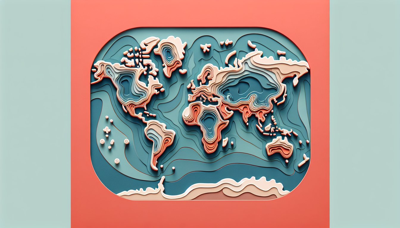
This world map quiz helps you identify countries by outline, borders, and location. Get instant feedback as you go, then sharpen skills with a targeted world map test, dive deeper with an Asia map quiz, or mix it up with a world flag quiz. Great for quick practice before class, travel, or trivia night.
Study Outcomes
- Identify Continents and Major Nations -
Locate each continent and major country accurately to strengthen your foundational world map knowledge.
- Analyze Political Borders -
Examine country boundaries to understand regional contexts and neighboring nations.
- Interpret Map Scales -
Use different map scales to calculate real-world distances and improve spatial reasoning.
- Recall Capital Cities -
Swiftly match capitals to their countries during a country map test or quiz, reinforcing your memory of global political centers.
- Apply Geographic Coordinates -
Pinpoint locations using latitude and longitude, mastering precise map navigation skills.
- Develop Test-Taking Strategies -
Adopt effective approaches to increase speed and accuracy in world map test practice and challenges.
Cheat Sheet
- Map Projections & Distortion -
Familiarize yourself with common projections like the Mercator, which exaggerates size near the poles (e.g., Greenland appears larger than Africa). Understanding that no flat map is perfect helps you anticipate where shapes or areas might be skewed on your country map test. Use the projection's scale variation formula (scale = distance on map ÷ distance on ground) to compare distortions.
- Latitude & Longitude Grids -
Practice reading coordinates by remembering "Latitude lines lie flat" (they run east - west) and "Longitude lines are long" (they converge at poles). For example, Cairo sits at roughly 30° N, 31° E, so locate 30° on the horizontal and 31° on the vertical grid. Quizzing yourself on 5° increments across continents sharpens your precision for any world map test practice.
- Scale & Distance Calculations -
Master map scales by converting measurements: if 1 cm equals 100 km, then a 7 cm distance on your country map quiz represents 700 km in reality. Remember the formula Distance_real = Distance_map × Scale_factor to quickly gauge travel lengths between capitals. Timed drills with a ruler build speed and confidence for exam conditions.
- Regional Groupings & Mnemonics -
Group countries by continent or subregion - like the "Five Central Asian Stans" (Kazakhstan, Kyrgyzstan, Tajikistan, Turkmenistan, Uzbekistan) - to reduce the number of isolated names you memorize. Create catchy phrases (e.g., "Big Penguins Roll Close to Antarctica" for countries around the South Pole) to anchor locations in your mind. This approach is backed by memory research from top cognitive psychology labs.
- Capitals & Landmark Associations -
Pair each country with its capital and a signature landmark: imagine the Eiffel Tower rising above Paris for France or christen "Big Ben Brussels" for Belgium. Use a simple flashcard method - country on one side, capital and landmark on the other - to self-test rapidly. Studies at leading geography departments show this dual-coding strategy boosts recall on a world map exam by over 20%.