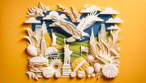
US Geography Trivia Questions to Test Your State Knowledge
Quick, free United States geography quiz to test your knowledge. Instant results.
This U.S. geography quiz helps you test your knowledge of states, capitals, and landmarks in a few minutes, and spot gaps fast. Warm up with the 50 states quiz, broaden your scope in the American geography quiz, or drill facts with state trivia questions before you start.
Study Outcomes
- Identify State Capitals -
Pinpoint each U.S. state capital by name and location to strengthen your knowledge of American political geography.
- Recall Major Landmarks -
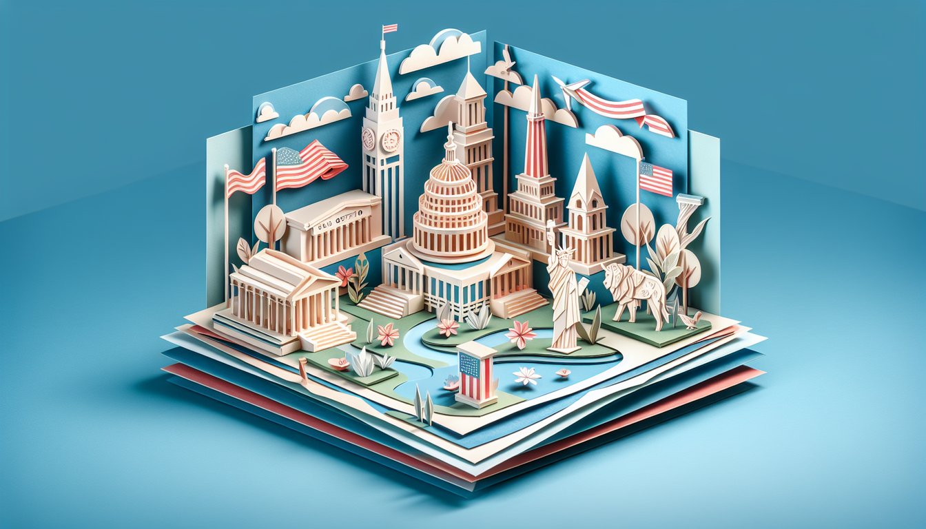
Recognize key natural and man-made landmarks across the United States, from the Grand Canyon to the Statue of Liberty.
- Locate States on a Map -
Determine the position of each state on a U.S. map using geographical clues and bordering states.
- Differentiate Physical Features -
Distinguish between various physical regions like mountain ranges, rivers, and plains throughout the country.
- Assess Your Geography Skills -
Evaluate your mastery of U.S. geography trivia with instant scoring and feedback to track improvement.
Cheat Sheet
- Great Lakes Mnemonic -
Use the acronym "HOMES" to recall the five Great Lakes - Huron, Ontario, Michigan, Erie, Superior - in order from west to east. This simple trick, endorsed by the Great Lakes Information Network, makes U.S. geography trivia questions about lake borders much easier. Knowing that Michigan wraps around three of these lakes also helps you visualize state boundaries.
- Four Corners Intersection -
The Four Corners point is the only place in the U.S. where Arizona, New Mexico, Utah, and Colorado meet at a single spot, verified by the U.S. Geological Survey. Memorize the states clockwise - AZ, UT, CO, NM - to ace any u.s. geography trivia about multi-state junctions. Visiting the site can be a fun way to physically stand in four states at once!
- Regional Capital Grouping -
Divide state capitals by region (New England, Southeast, Midwest, etc.) and learn them in clusters, a method supported by various state secretary websites. For example, picture Boston and Concord sharing a snowy New England tea party to lock in MA and NH. Grouping this way turns u.s. geography questions into mini-stories rather than isolated facts.
- Major River Systems -
The combined Mississippi - Missouri - Ohio river system drains over 40% of the continental U.S., according to the U.S. Geological Survey. Remember the flow with a phrase like "My Mighty Ox" (Missouri → Mississippi → Ohio) to tackle us geography trivia questions on watershed order. Mapping each tributary's path deepens your grasp of interior drainage patterns.
- Contiguous Time Zones -
The lower 48 states span four primary time zones: Pacific, Mountain, Central, Eastern - often memorized with "Please Make Cornbread Early." NOAA charts show most of Arizona skips daylight saving time, so watch for that trivia twist. Recognizing longitudinal boundaries of each zone is key for rapid quiz responses.