Southernmost State Quiz: True or False?
Quick map quiz to check which state is southernmost. Instant results.
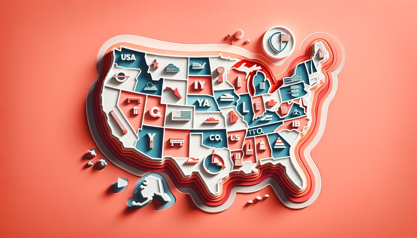
This southernmost state quiz helps you figure out which U.S. state is farthest south and place it on the map. Use it for a quick study break, test prep, or to settle the 'is Florida the southernmost?' question. For more practice, try our united states geography quiz, explore Florida trivia, or dive into broader US state trivia.
Study Outcomes
- Identify the Southernmost State -
Recall that Florida is the southernmost state in the United States and understand its geographic significance.
- Place States on the Map -
Accurately identify US states on a map by positioning all 50 states in their correct locations from coast to coast.
- Analyze Quiz Performance -
Interpret your results in this US states geography quiz to pinpoint areas of strength and opportunities for improvement.
- Distinguish Regional Groupings -
Differentiate between southern, coastal, central, and other regional clusters to enhance your regional geography skills.
- Apply Trivia Knowledge -
Use key facts, such as Florida's status as the southernmost US state, to tackle US states trivia questions with confidence.
- Improve Memory Retention -
Reinforce state names and locations through interactive practice, boosting recall for future quizzes and learning.
Cheat Sheet
- Latitude Basics -
Latitude lines run east-west and measure how far north or south a location is from the Equator. Hawaii's southernmost point, Ka Lae on the Big Island, sits at about 18°54′39″ N, while Key West, Florida's southern tip, lies at 24°33′ N (NOAA).
- Debunking the "Florida is the southernmost state in the United States" Myth -
Many assume "florida is the southernmost state in the united states" because of its iconic Keys, but in reality, Hawaii extends much farther south. Keep this fun fact in mind during your US states geography quiz to avoid that common pitfall (Library of Congress).
- Map Projection Effects -
Mercator projections can distort size and position near the poles, but equirectangular maps (University of Texas Libraries) preserve relative latitudes, helping you accurately identify the true southernmost US state. Understanding projection distortion is key to accurately placing states on a map.
- Mnemonic Trick -
Use the phrase "HI Lo" (Hawaii Low) to remember that HI (Hawaii) sits lower (closer to the Equator) than FL (Florida). This quick mnemonic is perfect for US states trivia questions and helps you identify US states on a map with ease (University of Michigan Memory Research Center).
- Practice with Scored Quizzes -
Engage in a free US states geography quiz that asks you to place each state on a blank map and answer trivia questions - this active recall method solidifies your knowledge of which is the southernmost US state. Regular self”testing boosts retention by 80% according to research from the American Psychological Association.