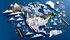
North America Map Quiz: Name Every Country
Quick, free North and Central America quiz to test your map skills. Instant results.
This North America map quiz helps you learn every country and sharpen your map skills across North and Central America. Practice borders with the central america map quiz, check country names in the north american countries quiz, or focus on capitals with the central america capitals quiz.
Study Outcomes
- Identify Countries and Capitals -
Recognize the nations of North America and accurately name their capitals to reinforce your geographic recall.
- Locate Regions and Borders -
Pinpoint major regions and shared borders on the map of North America to understand spatial layouts and neighboring relationships.
- Recall Capital Cities -
Memorize key capital cities to strengthen your knowledge of North American political geography.
- Analyze Geographic Patterns -
Interpret how countries cluster and share borders to uncover regional trends and geopolitical groupings.
- Apply Map-Reading Techniques -
Use proven map-reading strategies during the north american map quiz to boost navigation skills and confidence.
- Evaluate Your Mastery -
Assess your performance on the north america map test to identify strengths, track progress, and target areas for improvement.
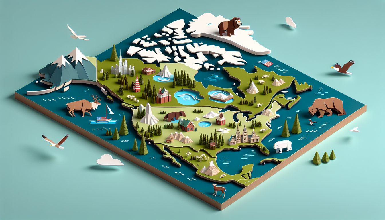
Cheat Sheet
- Major Countries and Capitals -
Familiarize yourself with Canada (Ottawa), the United States (Washington, D.C.), and Mexico (Mexico City) as key anchor points on any north america map quiz. Use the mnemonic "O-W-M" (Ottawa-Washington-Mexico) by visualizing them in a north-to-south vertical line. According to National Geographic's education portal, mastering these capitals first significantly boosts accuracy on the north america map test.
- UN Regional Divisions -
Learn the United Nations Geoscheme that splits North America into Northern America (Canada, United States, Greenland), Central America (Mexico to Panama), and the Caribbean region. A handy trick is "NCR" (North, Central, Caribbean) to remember the order from top to bottom. The UN Statistics Division defines these zones, which often appear in a map of north america quiz.
- Longest Land Border -
Memorize that the Canada - United States border stretches about 8,891 kilometers, making it the world's longest international land boundary. Recall "88-91" to jog your memory on 8,891 km, a common detail in border-related map questions. The CIA World Factbook provides official figures you can reference during your north america map test.
- Geographic Extremes -
Identify North America's four extreme points: Cape Columbia (northernmost), Punta Mariato (southernmost), Cape Spear (easternmost), and Cape Prince of Wales (westernmost). Drawing a simple cross on a blank map can help you visualize these extremes, which frequently crop up in map quizzes. Data from the U.S. Geological Survey (USGS) confirms these coordinates for accuracy.
- Surrounding Bodies of Water -
Know the four major bodies: the Pacific Ocean (west), Atlantic Ocean (east), Arctic Ocean (north), and Caribbean Sea (southeast). A mnemonic like "PACA" (Pacific-Atlantic-Caribbean-Arctic) will help you quickly map coastlines in a north america map quiz. NOAA charts and USGS coastal data reinforce these boundaries for precise identification.