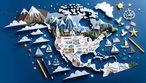
Unlock hundreds more features
Save your Quiz to the Dashboard
View and Export Results
Use AI to Create Quizzes and Analyse Results

Sign inSign in with Facebook
Sign inSign in with Google

Explore North & South America Physical Geography - Take the Quiz!

Feeling confident? Dive into our American geography trivia quiz now!

Difficulty: Moderate
2-5mins
Learning OutcomesCheat Sheet
Paper cut map of North and South America with rivers mountains landforms on coral background

This North and South America geography quiz helps you practice rivers, mountains, and landforms across both continents so you can spot gaps before a test or trip. Warm up with the North America round, then try the South America countries round and see how your score improves.

What is the longest river in North America?
Yukon River
Missouri River
Rio Grande
Mississippi River
The Missouri River, stretching about 2,341 miles, is the longest river entirely within North America. It flows east and south from its source in the Rocky Mountains of western Montana before joining the Mississippi River north of St. Louis. This combined Missouri - Mississippi system is one of the world's major river systems. .
Which mountain is the highest peak in North America?
Denali
Mount Saint Elias
Pico de Orizaba
Mount Logan
Denali, formerly known as Mount McKinley, rises to 20,310 feet (6,190 meters) and is the tallest mountain in North America. It is located in Alaska's Alaska Range and is renowned for its extreme weather conditions and significant prominence. .
Which river forms a natural border between the United States and Mexico?
Columbia River
Colorado River
Mississippi River
Rio Grande
The Rio Grande, also called Río Bravo in Mexico, defines about 1,254 miles of the border between the United States and Mexico from Texas to the Gulf of Mexico. It originates in Colorado and flows southeast. .
What is the largest freshwater lake by surface area in North America?
Great Bear Lake
Lake Winnipeg
Lake Michigan
Lake Superior
Lake Superior is the largest freshwater lake by surface area in North America, covering about 31,700 square miles (82,100 square kilometers). It is one of the five Great Lakes of North America and sits on the border between the United States and Canada. .
Which desert is the largest by area in North America?
Mojave Desert
Chihuahuan Desert
Sonoran Desert
Great Basin Desert
The Great Basin Desert spans over 190,000 square miles across Nevada, Utah, Oregon, Idaho, and Wyoming, making it the largest U.S. desert. It is classified as a cold desert, characterized by its basin-and-range topography and relatively low precipitation. .
Which mountain range runs along the western coast of South America?
Rocky Mountains
Appalachian Mountains
Sierra Madre
Andes
The Andes stretch more than 7,000 kilometers along the western edge of South America, spanning seven countries. They are the longest continental mountain range in the world and feature many of the highest peaks outside Asia. .
What is the longest river in South America?
Magdalena River
Paraná River
Amazon River
Orinoco River
The Amazon River, about 6,400 kilometers long, is recognized as the longest river in South America and by some measures the largest by discharge volume in the world. It flows from the Andes in Peru across Brazil to the Atlantic Ocean. .
What is the world's tallest uninterrupted waterfall, located in South America?
Niagara Falls
Angel Falls
Tugela Falls
Kaieteur Falls
Angel Falls in Venezuela drops 979 meters (3,212 feet) in one continuous plunge, making it the tallest uninterrupted waterfall on Earth. It is located in Canaima National Park. .
What narrow landform connects North and South America?
Panama Canal
Strait of Magellan
Isthmus of Panama
Isthmus of Suez
The Isthmus of Panama is a slender piece of land that joins North and South America, spanning just over 50 miles at its narrowest. It also separates the Caribbean Sea from the Pacific Ocean. .
Which large body of water lies to the southeast of the United States and northeast of Cuba?
Atlantic Ocean
Caribbean Sea
Gulf of Mexico
Bay of Biscay
The Gulf of Mexico is bordered by the U.S. to the north, Mexico to the west and south, and Cuba to the southeast. It lies between Florida and the Yucatán Peninsula. .
Which US state has shoreline on four of the five Great Lakes?
Ohio
Michigan
New York
Wisconsin
Michigan is the only U.S. state that borders four of the five Great Lakes: Superior, Michigan, Huron, and Erie. This extensive shoreline is a key feature of Michigan's geography. .
Which plateau spans the Four Corners region in the southwestern United States?
Piedmont Plateau
Columbia Plateau
Allegheny Plateau
Colorado Plateau
The Colorado Plateau covers parts of Arizona, Utah, Colorado, and New Mexico. It is noted for its high elevation, colorful canyon landscapes, and unique geology. .
Which volcano is the highest active peak in the Andes Mountains?
Chimborazo
Ojos del Salado
Mount Pissis
Cotopaxi
Ojos del Salado, on the Argentina - Chile border, stands at 6,893 meters and is the world's highest active volcano. It is part of the Andean Volcanic Belt. .
Which strait serves as the southern navigable maritime route between the Atlantic and Pacific Oceans?
Panama Canal
Strait of Gibraltar
Strait of Magellan
Drake Passage
The Strait of Magellan, at the southern tip of South America, is a natural passage between the Atlantic and Pacific Oceans. Before the Panama Canal opened, it was the main sea route around South America. .
Which South American country has the longest Atlantic coastline?
Argentina
Colombia
Brazil
Venezuela
Brazil's Atlantic coastline spans approximately 7,491 kilometers, making it the longest in South America. Its varied coast includes beaches, cliffs, and extensive mangrove systems. .
The Orinoco River primarily drains which South American country?
Brazil
Venezuela
Guyana
Colombia
The Orinoco River, one of the longest in South America, flows mostly through Venezuela, covering about 2,140 kilometers before emptying into the Atlantic Ocean. .
Which mountain range runs parallel to the Gulf Coast of Mexico?
Sierra Madre del Sur
Sierra Madre Occidental
Trans-Mexican Volcanic Belt
Sierra Madre Oriental
The Sierra Madre Oriental extends from the U.S. border down to the Isthmus of Tehuantepec, running roughly parallel to the Gulf of Mexico's coastline and featuring high peaks and deep canyons. .
Which island is the largest by land area in the Caribbean Sea?
Puerto Rico
Cuba
Jamaica
Hispaniola
Cuba covers about 110,860 square kilometers, making it the largest island in the Caribbean Sea by area. It lies south of Florida and the Bahamas. .
Which river carved the Grand Canyon over millions of years?
Mississippi River
Colorado River
Rio Grande
Columbia River
The Colorado River has sculpted the Grand Canyon over the past 5 - 6 million years by eroding rock, carrying sediments, and shaping vast canyon walls that today attract millions of visitors. .
Lake Titicaca is shared by which two countries?
Chile and Argentina
Peru and Chile
Peru and Bolivia
Bolivia and Argentina
Lake Titicaca, one of the world's highest navigable lakes at 3,812 meters above sea level, straddles the border between Peru and Bolivia in the Andes Mountains. .
Which mountain range formed as a result of the Laramide orogeny?
Cascade Range
Appalachian Mountains
Rocky Mountains
Sierra Nevada
The Rocky Mountains were uplifted during the Laramide orogeny between about 80 and 55 million years ago. This event shaped much of western North America's interior highlands. .
Which river is the largest tributary of the Amazon by volume?
Tapajós River
Negro River
Xingu River
Madeira River
The Madeira River, flowing from Bolivia into Brazil, contributes more water to the Amazon than any other tributary. It drains a massive basin responsible for significant rainfall catchment. .
Which South American desert is known as the driest nonpolar desert in the world?
Patagonian Desert
Atacama Desert
Sechura Desert
Monte Desert
The Atacama Desert in northern Chile averages less than 1 mm of rainfall per year in many areas, making it the driest nonpolar desert globally. Some weather stations have never recorded measurable precipitation. .
Which canyon system in Mexico is deeper than the Grand Canyon?
Copper Canyon
Sumidero Canyon
Fish River Canyon
Colca Canyon
Copper Canyon (Barranca del Cobre) in Chihuahua, Mexico, comprises six canyons and reaches depths exceeding 1,800 meters in places, surpassing the Grand Canyon's maximum depth. .
The Brazilian Highlands are also known by which Portuguese name?
Serra do Mar
Planalto Brasileiro
Mata Atlântica
Cerrado
The Brazilian Highlands cover about 40% of Brazil and are locally called the Planalto Brasileiro. They feature rolling hills, plateaus, and diverse ecosystems. .
Which gulf separates the Baja California Peninsula from mainland Mexico?
Gulf of Panama
Gulf of California
Gulf of Mexico
Gulf of Tehuantepec
The Gulf of California, also known as the Sea of Cortez, lies between the Baja California Peninsula and the Mexican mainland. It is rich in marine biodiversity and a UNESCO World Heritage site. .
The Yucatán Peninsula separates the Gulf of Mexico from which body of water?
Pacific Ocean
Caribbean Sea
Atlantic Ocean
Bay of Campeche
The Yucatán Peninsula forms a natural barrier between the Gulf of Mexico and the Caribbean Sea to its east, creating distinct marine ecosystems on each side. .
What is the second longest river in South America?
Madeira River
Orinoco River
Paraná River
Xingu River
The Paraná River, approximately 4,880 kilometers long, ranks as the second longest river in South America after the Amazon. It flows through Brazil, Paraguay, and Argentina. .
Which volcano is the highest peak in Central America?
Volcán Tajumulco
Volcán Acatenango
Volcán Chirripó
Volcán de Fuego
Volcán Tajumulco in Guatemala stands at 4,220 meters, making it the highest point in Central America. It is a potentially active stratovolcano in the Sierra Madre de Chiapas. .
The Moche civilization developed along which river valley in Peru?
Moche River valley
Amazon River valley
Rímac River valley
Urubamba River valley
The Moche civilization flourished from about 100 to 700 AD along the northern coast of Peru in the Moche River valley, where they built complex irrigation systems and adobe pyramids. .
The Andes Mountains formed primarily due to the convergence of which tectonic plates?
Pacific and North American Plates
South American and African Plates
Nazca and South American Plates
Cocos and Caribbean Plates
The subduction of the oceanic Nazca Plate beneath the continental South American Plate has driven the uplift and volcanism that created the Andes range. This convergent boundary remains highly active. .
The Canadian Shield is underlain by which ancient craton?
Yilgarn Craton
Superior Craton
Kaapvaal Craton
Siberian Craton
The Superior Craton is the largest segment of ancient continental crust forming the core of the Canadian Shield. It dates back to the Archean Eon and underpins much of eastern Canada. .
Which sedimentary basin in North America is a major source of shale oil and gas across Texas and surrounding states?
Anadarko Basin
Appalachian Basin
Permian Basin
Williston Basin
The Permian Basin, spanning western Texas and southeastern New Mexico, is one of the world's most prolific oil and gas producing regions, notable for its rich shale formations. .
0
{"name":"What is the longest river in North America?", "url":"https://www.quiz-maker.com/QPREVIEW","txt":"What is the longest river in North America?, Which mountain is the highest peak in North America?, Which river forms a natural border between the United States and Mexico?","img":"https://www.quiz-maker.com/3012/images/ogquiz.png"}

Study Outcomes

  1. Identify Major Landforms -

    Learn to pinpoint key rivers, mountains, and deserts across North and South America on a map with confidence.

  2. Recall Geography Vocabulary -

    Memorize essential physical geography terms used in American geography trivia and continental geography quizzes.

  3. Analyze Landform Distribution -

    Understand how mountains, plateaus, and basins are spread throughout the Americas and what influences their locations.

  4. Compare Regional Features -

    Contrast the geographic characteristics of North American and South American regions to appreciate their unique landscapes.

  5. Apply Spatial Reasoning -

    Enhance your ability to use map clues and spatial context to locate geographic features accurately.

  6. Evaluate Quiz Performance -

    Assess your strengths and knowledge gaps in North and South America geography quiz results to guide further learning.

Cheat Sheet

  1. Major River Systems -

    When tackling the north and south america quiz, focus on the Amazon (the world's largest by discharge) and the Mississippi - Missouri system (over 6,275 km long). Use the mnemonic "AMZ - MIS" to recall Amazon and Mississippi easily. Data from the US Geological Survey and National Geographic ensure you've got accurate flow rates and basin areas at your fingertips.

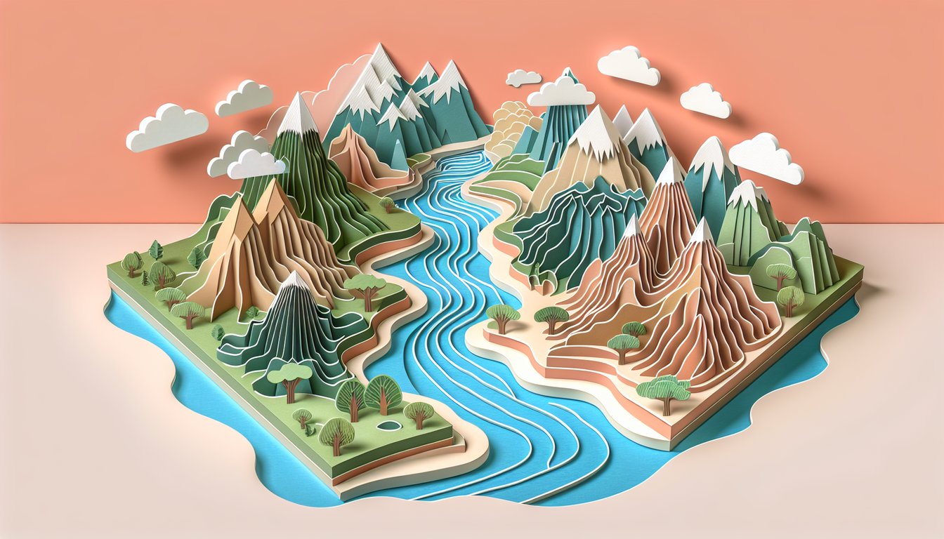
  2. Andean and Rocky Mountain Formation -

    These ranges formed through plate tectonic collisions: the Nazca Plate subducting under South America created the Andes, while the Laramide Orogeny uplifted the Rockies. Remember "SUB+COLLIDE = HEIGHT" as a simple formula linking subduction and collision to mountain uplift. University geology departments like those at Stanford and UNAM document the stratigraphy and uplift rates for deeper study.

  3. Continental Divides and Watersheds -

    The Continental Divide in North America (along the Rockies) and its South American counterpart (along the Andes) determine whether rivers drain to the Pacific, Atlantic, or Arctic. A quick way to visualize this is "high ridge → split flow," helping you trace river paths on maps. Official watershed maps from the USGS and Brazil's ANA provide authoritative boundary details.

  4. Desert Biomes of the Americas -

    The Atacama Desert (Chile) is the driest nonpolar desert, thanks to a rain shadow and cold Humboldt Current, while the Sonoran Desert (Mexico/USA) features bimodal rainfall. Memorize Köppen codes BWh and BWk to classify these climates in any american geography trivia challenge. Resources from the Köppen - Geiger climate classification and NASA's Earth Observatory give precise precipitation and temperature data.

  5. Latitudinal Zonation & Biomes -

    From tropical rainforests at the equator to tundra near the poles, biomes shift predictably with latitude due to solar insolation and atmospheric circulation. Use the phrase "Equator Hot, Poles Not" to recall temperature and biome changes. Detailed biome maps from the World Wildlife Fund (WWF) and peer-reviewed geomorphology journals help you link vegetation types to climatic zones.

Powered by: Quiz Maker