Unlock hundreds more features
Save your Quiz to the Dashboard
View and Export Results
Use AI to Create Quizzes and Analyse Results

Sign inSign in with Facebook
Sign inSign in with Google

Utah Counties Quiz: How Many Can You Name?

Ready for the Utah counties map quiz? Let's see if you can name every county!

Difficulty: Moderate
2-5mins
Learning OutcomesCheat Sheet
Paper art illustration of Utah map with county boundaries, quiz title text on coral background.

This Utah counties quiz helps you find each county on the map, match names, and recall quick facts. Play to spot gaps before a class or trip, have fun, and learn a bit about the Beehive State; when you finish, try more Utah trivia and explore U.S. geography.

Which county is the most populous county in Utah?
Utah County
Davis County
Salt Lake County
Weber County
Salt Lake County is the most populous in Utah, with over one million residents, making it the center of the state's metropolitan area. It includes Salt Lake City and many surrounding suburbs. The county's growth has been driven by economic opportunities and urban development.
What is the county seat of Utah County?
Orem
Heber City
Spanish Fork
Provo
Provo is the county seat and largest city in Utah County. It is home to Brigham Young University and one of the fastest-growing metropolitan areas in the state. The city serves as the administrative center for county government.
Which county contains the city of St. George?
Iron County
Kane County
Beaver County
Washington County
St. George is the county seat and largest city of Washington County in southwestern Utah. The region is known for its red rock landscapes and proximity to national parks. Washington County has experienced rapid population growth due to tourism and retirement communities.
Which Utah county is named after a U.S. President?
Lincoln County
Jefferson County
Garfield County
Roosevelt County
Garfield County was named in honor of President James A. Garfield after his assassination in 1881. It is located in southern Utah and is known for parts of Capitol Reef and Grand Staircase - Escalante National Monuments. The county reflects a common practice of commemorating influential figures.
Which Utah county is the largest by area?
Washington County
Uintah County
San Juan County
Tooele County
San Juan County, in southeastern Utah, covers over 7,800 square miles, making it the largest by area. It includes parts of Canyonlands National Park and Monument Valley. Its vast size is due to low population density and extensive public lands.
Which county is located in the northernmost part of Utah?
Rich County
Box Elder County
Summit County
Cache County
Box Elder County extends to the very northern border of Utah, touching Idaho and Nevada. It spans from the Great Salt Lake to the remote northwestern deserts. Its geographic diversity includes mountains, lakes, and desert plains.
Which county's western boundary includes most of Antelope Island in the Great Salt Lake?
Weber County
Box Elder County
Davis County
Salt Lake County
Antelope Island, the largest island in the Great Salt Lake, lies primarily within Davis County's boundaries. The island is a state park known for wildlife and scenic views. Davis County's shoreline includes popular recreation areas along the lake.
Which of these counties does not border Colorado?
Uintah County
Emery County
San Juan County
Grand County
Emery County is located in central Utah and does not reach the state's eastern border. San Juan, Grand, and Uintah counties all touch the Colorado state line. Geography and boundaries determine interstate borders in this region.
The Four Corners Monument, where Utah meets New Mexico, Arizona, and Colorado, is located in which Utah county?
San Juan County
Grand County
Uintah County
Kane County
The Four Corners Monument sits in the extreme southeastern corner of Utah, within San Juan County. This unique point marks the only place in the U.S. where four state boundaries meet. It is a popular tourist destination managed by the Navajo Nation.
Which Utah county was the last to be established?
Duchesne County
Daggett County
Grand County
Morgan County
Daggett County, created in 1918, is the youngest county in Utah. It was carved from part of Uintah County and named for former governor H. G. Daggett. It remains one of the least populated counties in the state.
Which of these counties is partially within the Uinta-Wasatch-Cache National Forest?
Beaver County
Iron County
Summit County
Salt Lake County
Summit County includes significant portions of the Uinta-Wasatch-Cache National Forest, particularly around the Wasatch Range. The forest provides recreational areas for hiking, skiing, and camping. This national forest stretches across northern Utah's mountainous regions.
What is the FIPS code for Tooele County, Utah?
049
047
045
053
The Federal Information Processing Standard (FIPS) code for Tooele County is 049. FIPS codes uniquely identify counties across the United States. Tooele County lies west of Salt Lake City and is known for its desert landscape and military testing facilities.
0
{"name":"Which county is the most populous county in Utah?", "url":"https://www.quiz-maker.com/QPREVIEW","txt":"Which county is the most populous county in Utah?, What is the county seat of Utah County?, Which county contains the city of St. George?","img":"https://www.quiz-maker.com/3012/images/ogquiz.png"}

Study Outcomes

  1. Identify Utah County Names -

    Accurately name each of Utah's counties after engaging with the utah counties quiz, reinforcing your memorization of official county titles.

  2. Locate Counties on a Map -

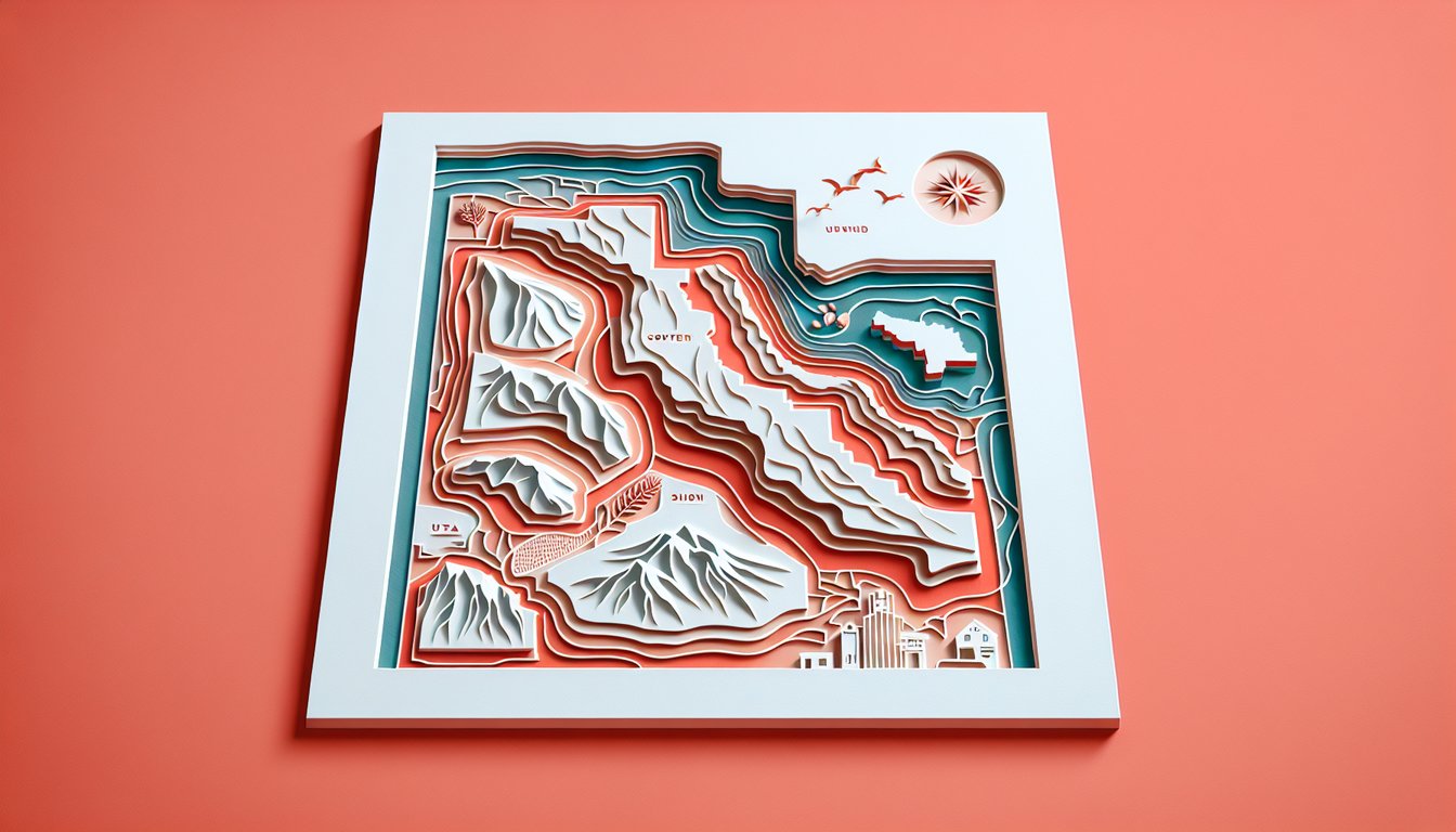
    Pinpoint each county's position on a utah counties map quiz, boosting your spatial awareness of Utah's geographic layout.

  3. Recall Key County Facts -

    Remember important details such as population size, county seats, and historical notes to deepen your utah geography quiz expertise.

  4. Differentiate Regional Characteristics -

    Distinguish between northern, central, southern, and eastern counties by unique cultural and environmental features.

  5. Analyze County Trivia -

    Interpret interesting trivia and local facts from the utah county names quiz to enhance your overall knowledge of the state.

Cheat Sheet

  1. Regional Divisions of Utah Counties -

    Utah's 29 counties are commonly grouped into regions like the Wasatch Front, Central Utah, and Southern Utah based on geographic and economic traits (source: Utah.gov). Recognizing these clusters helps you narrow down answers quickly on your utah counties quiz by associating counties with familiar landmarks (e.g., Salt Lake, Davis, Weber on the Wasatch Front). Try drawing a quick sketch of these regions on blank paper to reinforce your utah counties map quiz skills.

  2. Mnemonic Devices for County Names -

    Create memory aids like "SAD C U R L" for Salt Lake, Davis, Cache, Uintah, Rich, and Logan (Cache County seat) to recall six counties in the north. Mnemonics tap into your brain's pattern-recognition; for example, link "Moab's Jurassic" to Grand (county) and San Juan (as the Utah Setting for Jurassic fossils). Testing yourself with flashcards or smartphone apps solidifies these tricks before taking a utah county names quiz.

  3. County Seats and Major Cities -

    Know each county's administrative center - Provo for Utah County, St. George for Washington County, and so on - as county seats often appear in quiz questions (National Association of Counties). Matching seat-to-county enhances retention; e.g., "Fillmore" reminds you of Millard County's historic capital. Try listing seat - county pairs aloud to boost recall during your utah geography quiz.

  4. Comparing Size and Population -

    San Juan County is Utah's largest by land area (approximately 7,933 sq mi), while Utah County boasts the highest population (over 659,000 residents as of the U.S. Census Bureau). Contrasting these extremes gives you memorable anchors for size- or demographics-themed questions on a utah county trivia round. Charting the top three in both categories in a simple table helps cement their rankings.

  5. Historical Naming Origins -

    Many Utah counties are named for early explorers, politicians, or Native American tribes - Duchesne for the Ute word for "devil," and Garfield for President James A. Garfield (Utah State Historical Society). Understanding these origins not only deepens your appreciation but also provides narrative hooks to recall individual counties in a utah counties quiz. Write a brief sentence per county name origin to form a mini "storybook" of Utah geography.

Powered by: Quiz Maker