East Asia physical map quiz: locate rivers, mountains, and seas
Quick, free East Asia map quiz to check your geography skills. Instant results.
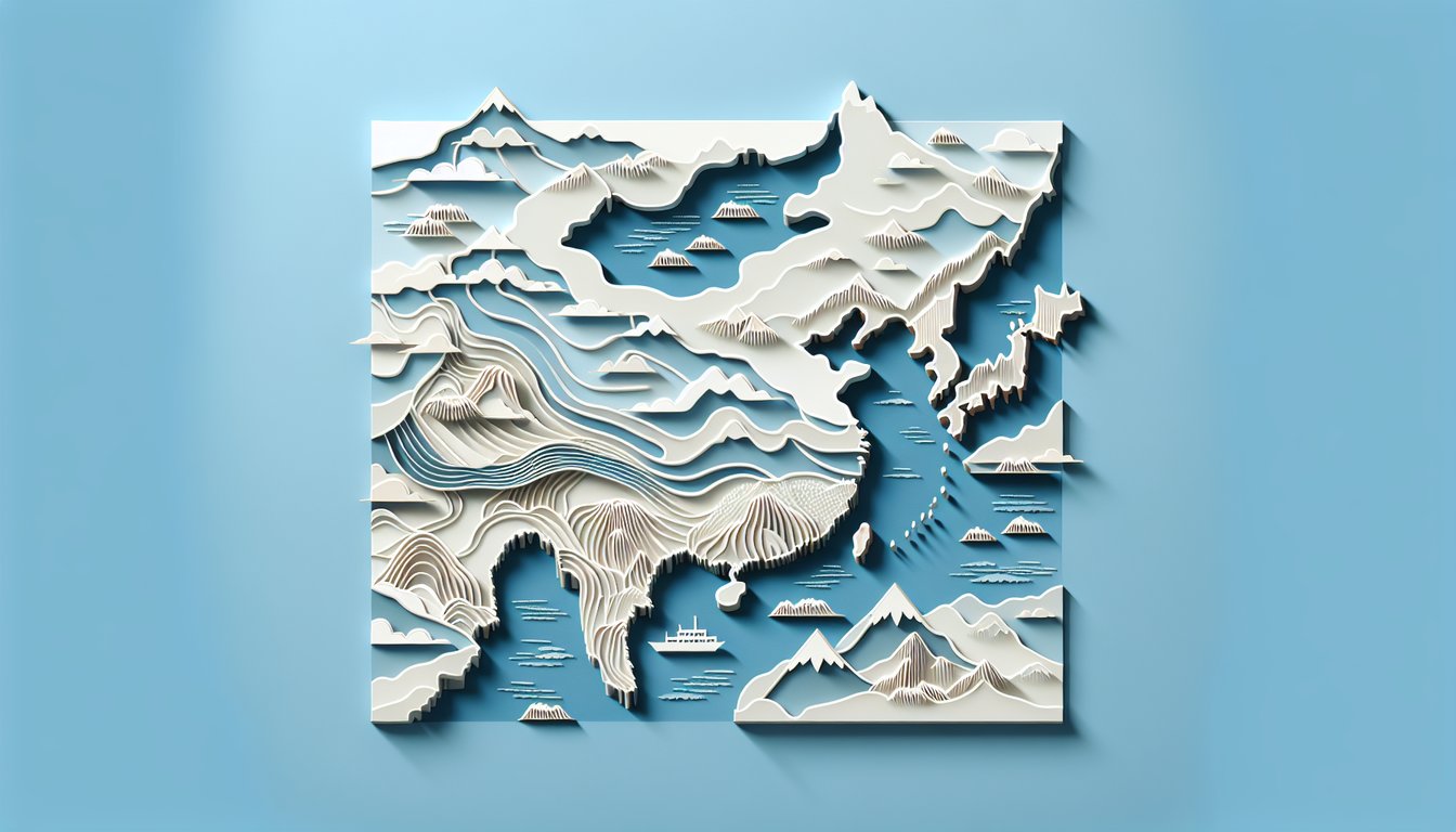
This East Asia physical map quiz helps you spot major rivers, mountains, deserts, and seas across the region. Build confidence by naming the Yangtze, Gobi, and more, then sharpen skills with East Asia bodies of water, explore borders and capitals with east asian countries quiz, or step up to a broader east asia map quiz.
Study Outcomes
- Identify Major Landforms -
Locate and label the main mountain ranges, plateaus, and highlands on an east asia physical map to grasp regional geography.
- Locate Principal Waterways -
Pinpoint major rivers and lakes using the map of east asia physical features and understand their roles in the region's ecology and settlements.
- Interpret Coastal and Relief Patterns -
Analyze coastline shapes and elevation changes on a physical map of east asia to appreciate how landforms influence coastal environments.
- Analyze Spatial Relationships -
Examine the positioning of mountains, rivers, and plains on an east asia physical features map to see how topography affects human activity and climate.
- Compare Highland and Lowland Zones -
Differentiate between upland and lowland areas on a physical east asia map to understand their distinct climates and ecosystems.
- Enhance Map-Reading Precision -
Practice identifying specific physical features on an east asia physical map to improve your overall cartographic skills.
Cheat Sheet
- Major Mountain Ranges -
The Himalayas, Kunlun, and Tianshan ranges dominate the physical map of East Asia, forming continental divides and influencing climate patterns. Use the mnemonic "HiKT" (Himalayas, Kunlun, Tianshan) to recall these key ranges. Their altitudes exceed 4,000 m, marking them as some of the highest in the world.
- Great River Systems -
The Yangtze (6,300 km), Yellow (5,464 km), and Mekong (4,350 km) rivers are the three longest waterways on an East Asia physical features map. Note their flow directions: all head southeast toward the Pacific, shaping ancient civilizations and fertile plains. Knowing these lengths and paths helps you pinpoint each river on the quiz with confidence.
- Plate Tectonic Boundaries -
The edge of the Pacific and Eurasian plates creates the Ring of Fire along Japan, Taiwan, and the Kuril Islands on a physical East Asia map. Remember that subduction zones like the Japan Trench cause frequent earthquakes and volcanic arcs, which you can spot by clustered island chains. Recognizing these seismic hotspots boosts your map-readiness.
- Tibetan Plateau -
Often called the "Roof of the World," the Tibetan Plateau sits north of the Himalayas at an average elevation above 4,500 m, making it a standout feature on a map of East Asia physical features. Its high altitude creates a rain shadow effect, leading to arid conditions in Central Asia. Identifying this plateau helps in understanding regional climate variations.
- Coastal Outlines & Archipelagos -
Japan's four main islands, the Korean Peninsula's east and west coasts, and Taiwan's rugged shoreline appear prominently on an East Asia physical map. Learn the sequence north to south - Hokkaido, Honshu, Shikoku, Kyushu - to quickly place each island group. Visualizing these coastlines and straits sharpens your regional mapping skills.