East Asia bodies of water map quiz: rivers and seas
Quick, free map quiz on Asia rivers and seas. Instant results.
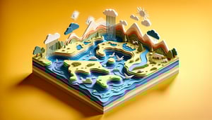
This quiz helps you locate East Asia bodies of water, from major rivers to surrounding seas. Test yourself on placements, see instant feedback, and strengthen your map skills. For broader practice, try the East Asia physical map quiz, the east asia map test, and the map of east asia quiz.
Study Outcomes
- Identify Major Waterways -
After completing this map of bodies of water in Asia quiz, you will accurately locate and name major rivers and seas throughout East Asia.
- Differentiate Regional Rivers -
Practice pinpointing the Xi Jiang and Yalu Jiang using xi jiang river on a map and yalu jiang river map exercises to distinguish similar waterways.
- Navigate Interactive Maps -
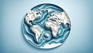
Develop skills to read and interpret an asia bodies of water map, understanding scale, legends, and geographical context.
- Interpret Coordinate Clues -
Enhance your spatial reasoning by solving eastern map quiz prompts that require matching coordinates to real-world river locations.
- Analyze Hydrographic Patterns -
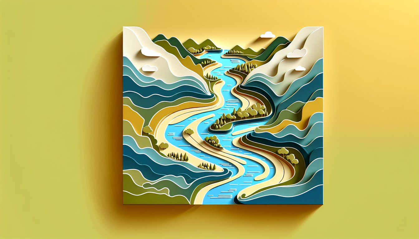
Explore how river courses relate to topography, climate, and human settlement patterns across Asia's diverse landscapes.
- Strengthen Retention Through Practice -
Reinforce your knowledge of waterway geography with repeated quiz rounds designed to boost recall and map-reading confidence.
Cheat Sheet
- Yellow River's Historical and Cultural Role -
Often called China's "Cradle of Civilization," the Yellow River shaped ancient dynasties. On any reliable asia bodies of water map you'll find its winding path across nine provinces, reflecting how societies thrived near its fertile silt deposits. Remember "Loess Lawn" as a mnemonic: Loess (fertile soil) + Lawn (green fields) to recall its agricultural importance.
- Delta Dynamics of the Xi Jiang River -
Studying xi jiang river on a map reveals a complex network of tributaries feeding into the Pearl River Delta. This region, highlighted by National Geographic data, supports over 60 million people and is an economic powerhouse. Use the phrase "PEARL Pulse" (Population, Economy, Agriculture, Rivers, Logistics) to remember key delta features.
- Yalu Jiang's Geopolitical Boundary -
The yalu jiang river map shows its course forming part of the China - North Korea border, a feature often tested in an eastern map quiz. UNESCO and Korean studies note its rapids and dams play crucial roles in energy generation. Think "Boundary Brook" to recall this river's dual identity as both a natural waterway and a political divider.
- Major Seas of East Asia -
A thorough map of bodies of water in Asia must include the East China Sea, South China Sea, and the Sea of Japan, each with unique depth and salinity profiles recorded by research institutions like NOAA. Memorize the "EJS Triangle" (East, Japan, South) to pinpoint them quickly on any asia bodies of water map. This triangular mnemonic is invaluable for rapid recall during map drills.
- Mastering Map Coordinates and Scale -
Precision in an eastern map quiz hinges on understanding latitude and longitude, so practice plotting points like the Mekong River at 15°N, 105°E using global positioning standards. Reference the USGS "Map Skills for Geography" guidelines to convert scale ratios accurately, ensuring you can zoom from a regional to continental view. A handy trick is "Every Degree, 111 km" to estimate distances between latitudinal lines.