Middle East Physical Map Quiz: Terrain, Mountains, and Waterways
Quick, free Middle East map quiz to test your skills. Instant results.
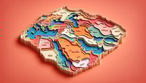
This Middle East physical map quiz helps you practice spotting deserts, mountain ranges, rivers, and seas across the region. After you finish, try a broader Middle East map quiz, check your knowledge with a general Middle East quiz, or build map-reading skills in a topographic map quiz.
Study Outcomes
- Identify Key Physical Features -
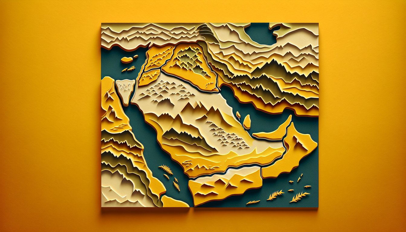
Recognize major deserts, rivers, and plateaus on the middle east physical geography map to build a solid geographical foundation.
- Locate Major Mountain Ranges -
Pinpoint prominent middle east mountain ranges like the Zagros and Taurus chains to understand elevation patterns within the region.
- Interpret Terrain Variations -
Analyze differences in landforms across the arabian peninsula geography map, distinguishing coastal plains from interior highlands.
- Differentiate Climatic Zones -
Distinguish between arid desert regions and Mediterranean-influenced areas using physical geography middle east indicators.
- Apply Map-Reading Skills -
Use map symbols and scales to accurately measure distances and compass directions in this middle east terrain quiz context.
- Evaluate Regional Waterways -
Understand the strategic importance of rivers like the Euphrates and Tigris for population centers and historical trade routes.
Cheat Sheet
- Desert Distribution -
By examining a middle east physical geography map, you can trace the vast Arabian Desert which includes Rub' al-Khali ("Empty Quarter") and An-Nafud. A handy mnemonic is SARA (Saudi Arabia, Rub' al-Khali, An-Nafud) to remember the three major sandy regions. Understanding desert boundaries helps explain human settlement patterns and water scarcity challenges.
- River Networks -
The physical geography Middle East quiz often emphasizes the Tigris and Euphrates rivers as the "twin engines" of ancient civilizations in Mesopotamia. Use the mnemonic TE (Tigris-Euphrates) to recall their order from north to south on your map. Their seasonal flood cycles shaped early agricultural formulas, like the grain-to-water rotation ratios still studied in hydrogeology.
- Mountain Ranges -
On an Arabian Peninsula geography map, highlight the Zagros and Taurus mountain ranges which act as climatic dividers, creating rain shadows to their leeward sides. Remember "ZTaM" (Zagros, Taurus mountains) to locate them quickly on any map. These ranges influence regional weather patterns, water runoff formulas, and biodiversity hotspots studied by ecologists.
- Plate Tectonics and Rift Valleys -
The middle east physical geography map clearly shows the Arabian Plate's divergence at the Red Sea Rift, forming the Gulf of Aqaba and Dead Sea Rift valley. Understanding plate boundaries helps you predict seismic activity and mountain-building processes like uplift rates. Use simple formulas like uplift rate = elevation change ÷ time (mm/year) to estimate geological shifts.
- Elevation and Climate Zones -
Study the middle east terrain quiz elevation profile to see how topography influences climate zones from coastal plains to highland plateaus. Applying orographic rainfall models, such as P = P₀ × e^( - k·h) (where P is precipitation, h is elevation), helps predict rainfall distribution. Familiarity with elevation contours on a physical geography Middle East map is key to mastering local climate studies.