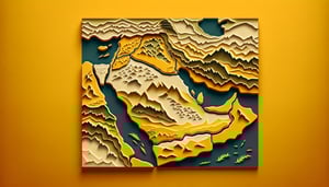
Middle East and North Africa map quiz
Quick, free MENA map quiz to test your country knowledge. Instant results.
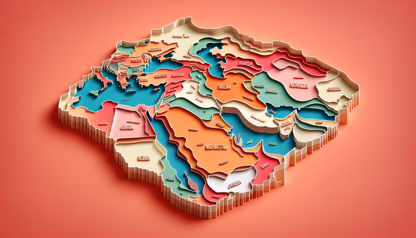
Use this Middle East and North Africa map quiz to learn each country and see how their borders connect. Get quick feedback as you go. Want to go deeper? Try the Middle East physical map quiz, challenge yourself with a broader Middle East quiz, or sharpen names with the arab countries quiz.
Study Outcomes
- Identify MENA Countries -
Find and label each country in the Middle East and North Africa on an unlabeled map, solidifying your regional geography knowledge.
- Distinguish Regional Borders -
Recognize and differentiate the borders between North African and Middle Eastern nations, improving your understanding of geopolitical boundaries.
- Recall Key Capitals and Landmarks -
Memorize the locations of essential capitals and geographic landmarks, enhancing your ability to pinpoint them on future maps.
- Analyze Spatial Relationships -
Assess distances and proximities among countries, enabling a clearer perspective on the region's layout and neighbors.
- Apply Geographic Knowledge -
Use your map quiz results to contextualize current events and cultural studies, reinforcing the practical value of your regional expertise.
Cheat Sheet
- Regional Groupings Mnemonic -
Break the MENA region into three clusters: Maghreb (Morocco, Algeria, Tunisia, Libya, Mauritania), Mashreq (Egypt, Jordan, Lebanon, Syria, Iraq) and the Arabian Peninsula (Saudi Arabia, Yemen, Oman, UAE, Qatar, Bahrain, Kuwait). Use the "M²A²" memory trick - two M-regions and one A-region - to tag each cluster. This aligns with the UN geoscheme and helps in mastering the middle east and north africa map quiz.
- Coastline Landmark Mapping -
Identify four major bodies of water: the Mediterranean Sea (north of Libya, Tunisia, Algeria, Morocco, Egypt), the Red Sea (east of Egypt and Sudan), the Persian Gulf (between Iran and the Arabian Peninsula) and the Gulf of Aden/Arabian Sea (south of Yemen and Oman). Sketching shorelines alongside colored markers reinforces spatial context - try overlaying this on your north africa and the middle east map quiz draft. National Geographic's Atlas provides detailed shore profiles that are perfect for reference.
- Capital-Country Pairings -
Create flashcards for each country's capital, grouping them in threes: Rabat - Algiers - Tunis ("RAT"), Tripoli - Cairo - Khartoum ("TCK"), and so on. Recite the triads out loud before attempting the map quiz of middle east and north africa to lock associations into memory. The CIA World Factbook offers up-to-date capital listings to verify accuracy.
- Disputed Zones & Special Territories -
Flag areas like Western Sahara (claimed by Morocco), the Palestinian territories (Gaza and West Bank), Ceuta and Melilla (Spanish enclaves in Morocco) as "special zones" on your print-out. Marking these on a blank map sharpens border awareness and equips you to tackle tricky questions in the north africa middle east map quiz. Academic papers in the Journal of Borderlands Studies detail these complexities.
- Interactive Tools & Spaced Repetition -
Leverage free online platforms like Seterra or Quizlet to repeatedly test your knowledge with timed drills - aim for three daily sessions. Employ spaced repetition algorithms to revisit the hardest five countries until you score 100% in the middle east north africa map quiz. Research from the University of California's Learning Center shows this method boosts long-term retention by over 50%.