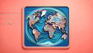
Continents and Oceans Test: Place Each on the Map
Quick continent and ocean quiz. Instant results and map practice.
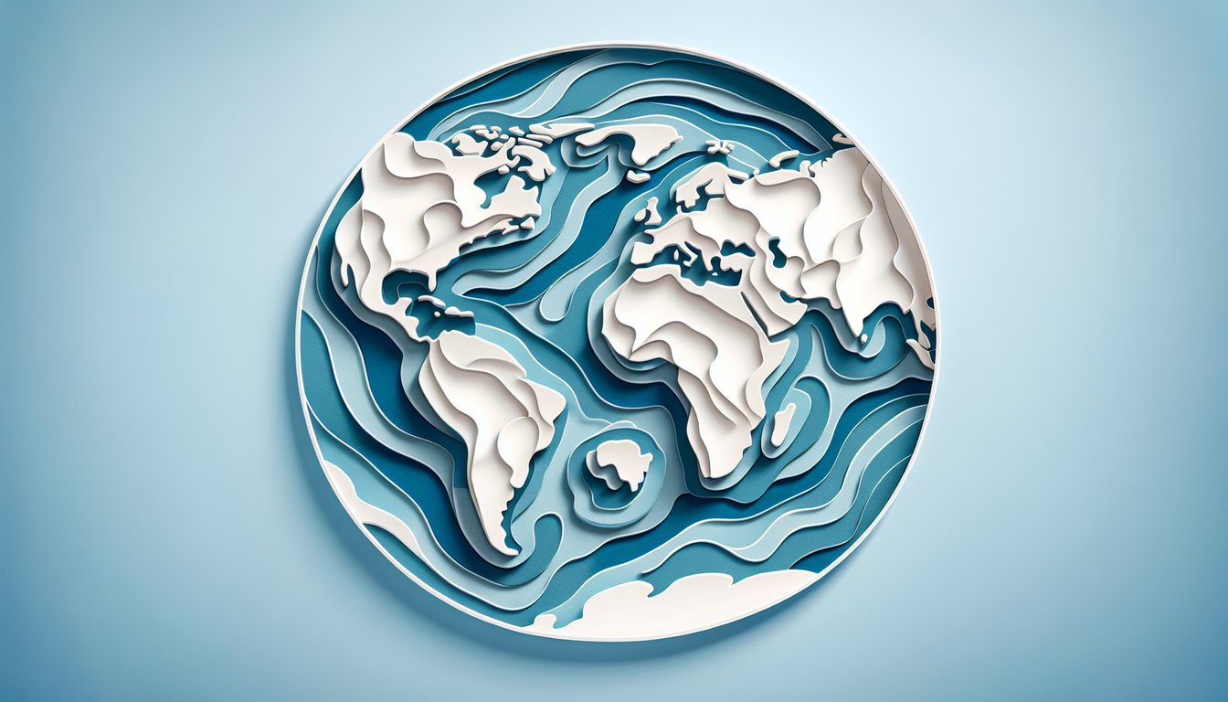
This quiz helps you identify the continents and oceans and place them on a world map. Get instant results after each guess, track accuracy, and build speed for class or practice. For more practice, try fill in continents and oceans or challenge yourself with a world map quiz.
Study Outcomes
- Identify Continents -
Locate and name all seven continents accurately on the interactive map, reinforcing your knowledge of global geography.
- Identify Oceans -
Pinpoint each of the world's major oceans, enhancing your ability to distinguish between landmasses and bodies of water.
- Analyze Spatial Relationships -
Assess the relative positions of continents and oceans to deepen your understanding of global layout and proximity.
- Compare Landmass Sizes -
Differentiate continents by their area and understand how the size of oceans influences global climate and circulation patterns.
- Apply Map Labeling Skills -
Demonstrate proficiency in map labeling by accurately assigning names to continents and oceans in an interactive setting.
- Evaluate Geographic Knowledge -
Confirm and strengthen your world geography expertise by tracking your quiz performance and identifying areas for improvement.
Cheat Sheet
- The Seven Continents -
Review Africa, Antarctica, Asia, Europe, North America, Oceania and South America by using a mnemonic like "Aunt Annie Ate Eight Nutty Oatmeal Scones" to recall continental names quickly, as recommended by National Geographic. Understanding their distinct landmasses and cultural regions is key when you tackle a continents oceans quiz on an interactive map.
- The Five Oceans -
Memorize Pacific, Atlantic, Indian, Southern (Antarctic) and Arctic Oceans with the phrase "Please Ask If Ships Are Afloat" to make waves in your quiz of continents and oceans. According to NOAA, knowing these ocean boundaries is vital for identifying oceanic quadrants on world maps.
- Continental Boundaries & Tectonic Plates -
Learn how geographers define boundaries (e.g., Ural Mountains separating Europe and Asia per Encyclopedia Britannica) versus tectonic plates used by geoscientists at USGS. This distinction helps you pinpoint each continent accurately in any world continents quiz.
- Map Projections & Distortion -
Be aware that the Mercator projection inflates polar regions, while the Robinson projection, endorsed by ESRI, preserves area proportions better for geography continents quiz scenarios. Recognizing projection types prevents misidentification of landmass size during map-based challenges.
- Coordinate Mastery -
Practice matching continents and oceans to their approximate latitude/longitude ranges - Africa spans roughly 37°N to 34°S, 17°W to 51°E (CIA World Factbook). This spatial toolkit is indispensable when you need to identify continents and oceans by coordinates in any interactive quiz.