Washington State quiz: Regions from the Cascades to Puget Sound
Quick, free quiz on the regions of Washington State. Instant results.
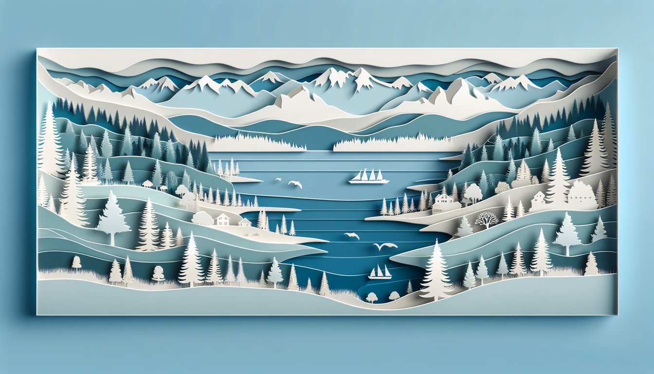
This quiz helps you test your knowledge of Washington State regions, from the Cascades and Puget Sound to the Olympic Peninsula and the Columbia Plateau. Get instant feedback as you go and learn a few fresh facts. Want a wider view? Try our US regions quiz, or brush up on fun facts with state trivia questions.
Study Outcomes
- Identify Washington's Major Regions -
After completing the quiz, you will be able to name and locate the key regions of Washington State, from the Olympic Peninsula to Eastern Washington.
- Differentiate Geographical Features -
You will learn to recognize distinct landforms and waterways - such as the Cascade Mountains and Puget Sound - that define each region.
- Recall Local Trivia and Landmarks -
The quiz equips you with fun facts and historical tidbits about Washington regions, helping you remember cultural highlights and famous sites.
- Analyze Regional Climate and Ecosystems -
You will gain insight into the varied climates and ecosystems across Washington State, from temperate rainforests to semi-arid plains.
- Apply Geographic Knowledge in Context -
By answering state regions questions, you will improve your ability to interpret maps and contextualize regional characteristics in real-world scenarios.
Cheat Sheet
- Major Physical Divisions -
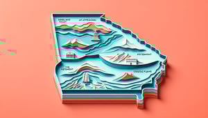
Washington is divided into five key regions: Olympic Peninsula, Puget Sound Lowlands, Cascade Range, Columbia Plateau, and the Inland Northwest (Eastern Washington). Familiarize yourself with the Washington State Department of Natural Resources maps to see how mountains and waterways shape these boundaries. In a Pacific Northwest quiz or Washington geography quiz, you'll often match these regions to their distinctive features.
- Geological Foundations -
Washington's landscape is largely shaped by the Cascade Range volcanic arc and the accretionary processes that formed the Olympic Mountains. Mt. Rainier and Mt. St. Helens are prime examples of active stratovolcanoes studied by the USGS. Remember "Raining Steel" (Rainier, St. Helens) as a mnemonic when tackling Washington regions trivia on volcanoes.
- Climate Contrasts -
Western Washington's maritime climate brings over 100 inches of annual rainfall to the Olympics and Puget Lowlands, while Eastern Washington lies in a rain shadow with semi-arid conditions. NOAA data shows precipitation drops dramatically east of the Cascades, influencing agriculture and ecosystem diversity. A simple phrase like "West gets wet, East eats wheat" helps you ace related Washington State Regions Quiz questions.
- Cultural and Economic Highlights -
Each region hosts distinct industries: tech giants in the Puget Sound, timber on the Olympics, and extensive wheat and apple orchards in the Columbia Plateau and Palouse. Washington State University Extension reports over 40% of US apples come from the Wenatchee area, a common trivia fact. Visualize an "apple - computer - log" icon trio to lock in these economic powerhouses for state regions questions.
- Mnemonic Mastery and Study Tips -
Create a memorable acronym like "O P C P I" (Olympic, Puget, Cascade, Plateau, Inland) or invent a phrase such as "Only Penguins Can Play Indoors" to recall region order. Multiple-choice quizzes, old exams from university geography courses, and flashcards are proven strategies from Cornell's Learning Science Center. Regularly timing yourself with a free Washington State Regions Quiz is a fun way to build speed and confidence before any Washington geography quiz.