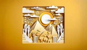
Egypt geography quiz: map the Nile, cities and regions
Quick, free map of Egypt quiz to test your knowledge. Instant results.
This Egypt map quiz helps you identify the Nile, major cities, deserts, and key regions like the Delta and Sinai. Check your score fast, then explore our North Africa map quiz, compare terrain in the Middle East physical map quiz, or dive into history with an Ancient Egypt quiz.
Study Outcomes
- Understand the Nile River's role -
Explain the course, seasonal changes, and cultural importance of the Nile within egyptian geography.
- Identify key desert landscapes -
Recognize Egypt's major deserts and describe their terrain and influence on trade routes and settlement patterns.
- Recall iconic Egyptian landmarks -
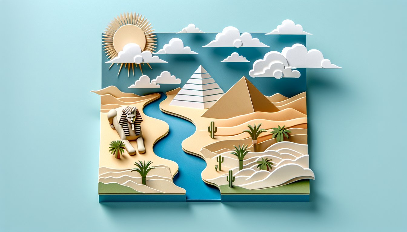
Memorize essential facts about the Pyramids, Sphinx, and other monuments to tackle trivia about egypt and questions about egypt.
- Analyze geographic impacts on civilization -
Assess how Egypt's natural environments shaped ancient Egyptian civilization, economy, and daily life.
- Apply knowledge in quizzes -
Use insights gained to confidently answer egypt quiz prompts and ancient egypt trivia questions.
Cheat Sheet
- Hydrology of the Nile River -
Understanding the Nile's two primary tributaries - the White Nile and the Blue Nile - is essential for Egyptian geography; the White Nile originates in Lake Victoria while the Blue Nile begins at Lake Tana (UNESCO). A handy mnemonic is "W+B = Water," reminding you that both rivers converge in Khartoum to form the longest river in the world (6,650 km). Master this for your Egypt quiz and tackle ancient Egypt trivia questions on river lengths with confidence!
- Desert Landscapes and Climate Zones -
About 96% of Egypt's land is desert, divided mainly into the Sahara to the west and the Eastern Desert along the Red Sea coast (NASA Earth Observatory). Remember the phrase "Sweeping Sands Surround" to recall that most Egyptian geography is hyper-arid. When answering trivia about Egypt's climate, note that annual rainfall in Cairo averages under 25 mm, making irrigation vital.
- Nile Delta Fertility & Irrigation Systems -
The Nile Delta, covering over 22,000 km², is one of the world's most fertile regions thanks to annual inundations depositing rich silt (National Geographic). Early Egyptians developed basin irrigation - simple channels filled during floods, then drained for planting - so use the formula Flood Volume ≈ Area × Flood Depth when exploring questions about Egypt's agriculture. This concept frequently appears in Egypt quiz sections on ancient farming techniques.
- Iconic Landmarks Along the Nile -
Key sites like the Pyramids of Giza, Karnak Temple in Luxor, and the Aswan High Dam are central to both Egyptian geography and trivia about Egypt's monuments (UNESCO World Heritage Centre). A quick tip: link each landmark to its geographical location - north, central, or south - to ace location-based questions about Egypt. These facts will boost your score on any Egypt quiz or trivia about Egypt.
- Trade Routes and Cultural Exchange -
The Nile served as Egypt's main artery for commerce, connecting Upper and Lower Egypt and facilitating trade with Punt, the Levant, and Nubia (Journal of Ancient Near Eastern History). Remember the mnemonic "Ships Sail South to Punt" to recall that maritime routes went downriver to the Red Sea ports. This detail often surfaces in ancient Egypt trivia questions about economic and cultural interactions.